AERIAL IMAGERY CAPABILITY
Leading CAA approvals matched with leading edge technology, and 7 years of experience and successful licence renewal
CAA PFCO 20180416LHW Partnership LLPPAndEUAS760 (Issue 8) Day & Night Operations to 25kG
ACofC sub 1kG
Leading CAA approvals matched with leading edge technology, and 7 years of experience and successful licence renewal
CAA PFCO 20180416LHW Partnership LLPPAndEUAS760 (Issue 8) Day & Night Operations to 25kG
ACofC sub 1kG
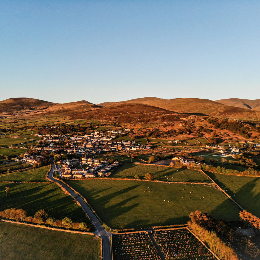
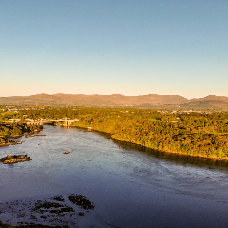
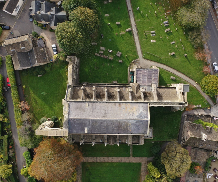
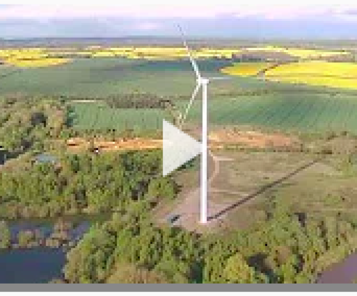
From landscape scenery to technical inspections
Multiple platfoms for images jpg & RAW/DNG up to 20Mp including 360o panorama. Indoor and outside including congested areas
4K HD video Indoor end external
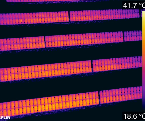
Infra Red, Electro luminescence, Inspection
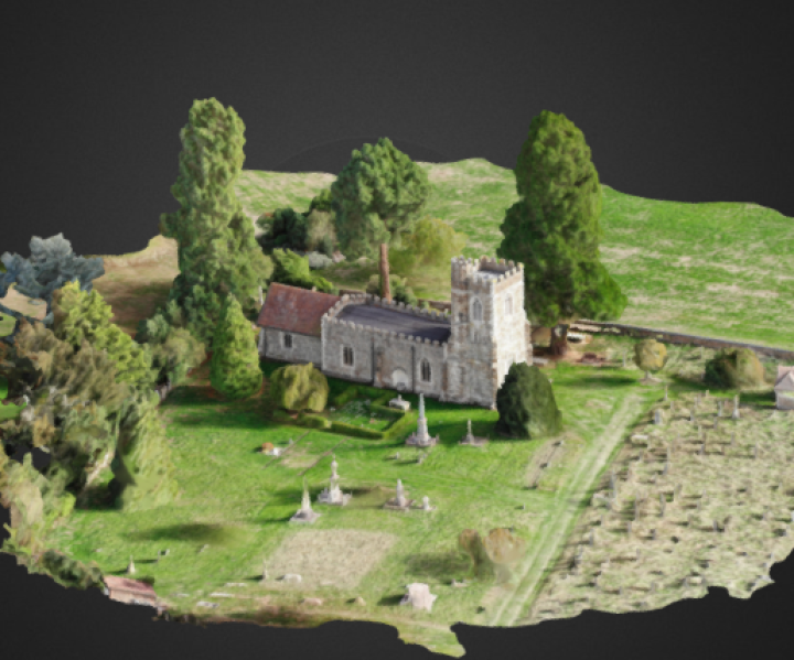
3d modelling for export to 3d images or C.A.D.
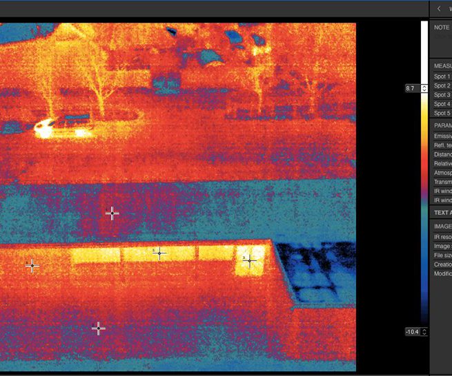
Easier access to determine building heat loss
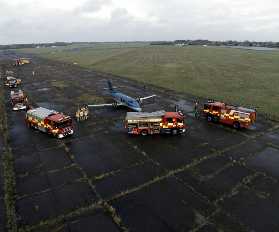
LHW support Emergency Services in times of emergency
Aerial platforms for indoor and outdoor usage with manual or automated route plan capability.

With interchangeable Dual Visual and Infra Red Cameras.
Approved to fly within congested areas with 20m control
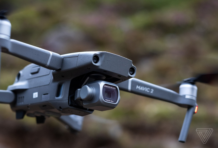
Large Sensor for low light visual and night photography and video
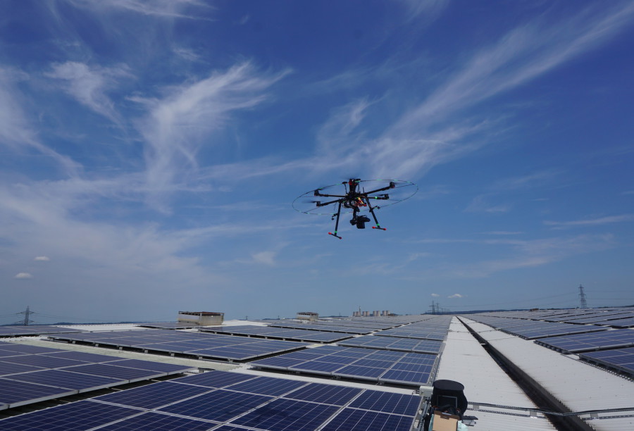
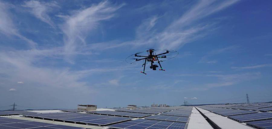
For locations where upward imagery is required, for example looking beneath Solar Panels, or inside areas where scaffolding or tower access is not possible
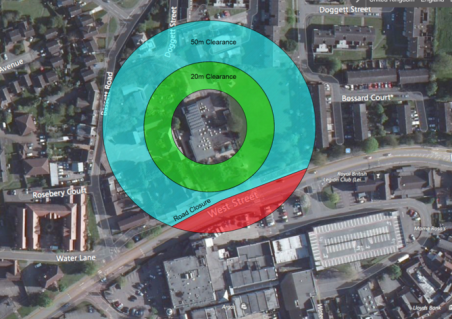
The standard CAA approval allows the use of drones with control of a 50-metre area around the drone. Control means the people within the area are under the instruction of the pilot. In rural areas this control area is realistic, but for inspecting more urban areas, this will often mean that there are roads and other pathways that will need control. This is often impractical.
With a twenty-metre control area this equates to 16% of the area of control for a 50 metre approval.
This means most buildings can be inspected.
For buildings where a 20-metre approval is still not acceptable, then LHW has other solutions including extendable poles and hand-held photography.
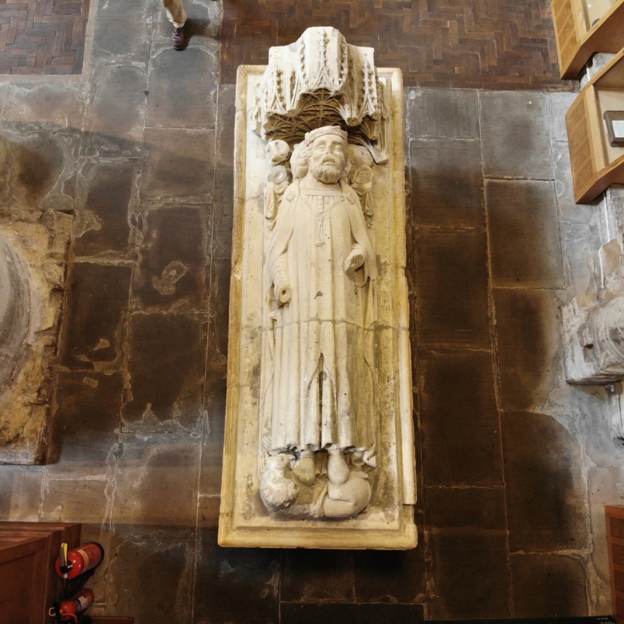
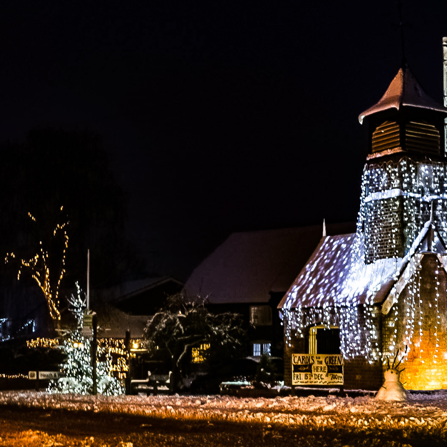
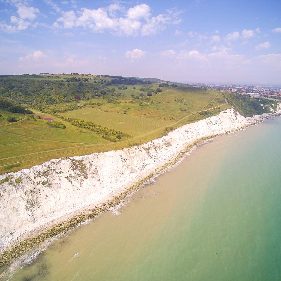
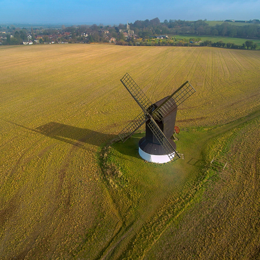
Some example images (in low resolution)